
Hold on a second...
advertisement
A new image of Earth captured from an unusual angle has taken the internet by storm. People are absolutely losing it over how unfamiliar it looks—honestly, it's understandable.
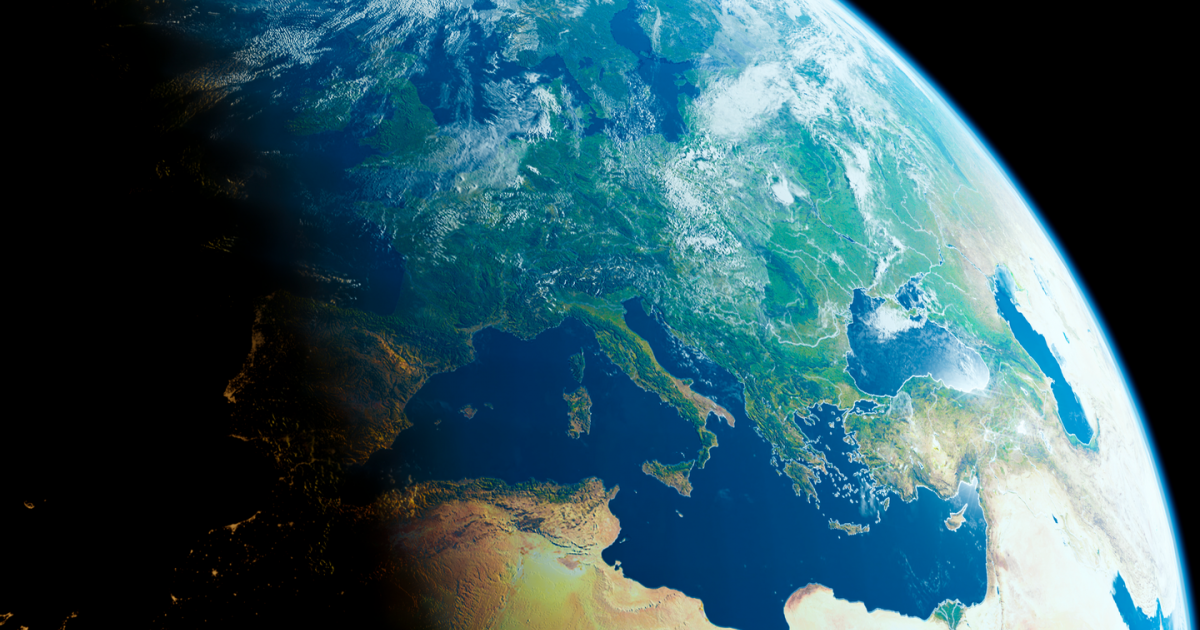
Most of us are used to seeing the globe with a focus on North America and Europe, since those parts of the world sit up in the northern hemisphere.
And because the majority of land—about 68 percent of it—is found there, including continents like North America, Europe, most of Asia, parts of Africa, and South America, it’s no surprise that view feels most familiar to us.
But let’s not forget—roughly 71 percent of Earth’s surface is covered by water.
One image from Google Earth really drives that point home. It reminds us just how much of our planet is actually ocean, which is easy to forget when we focus mostly on landmasses.
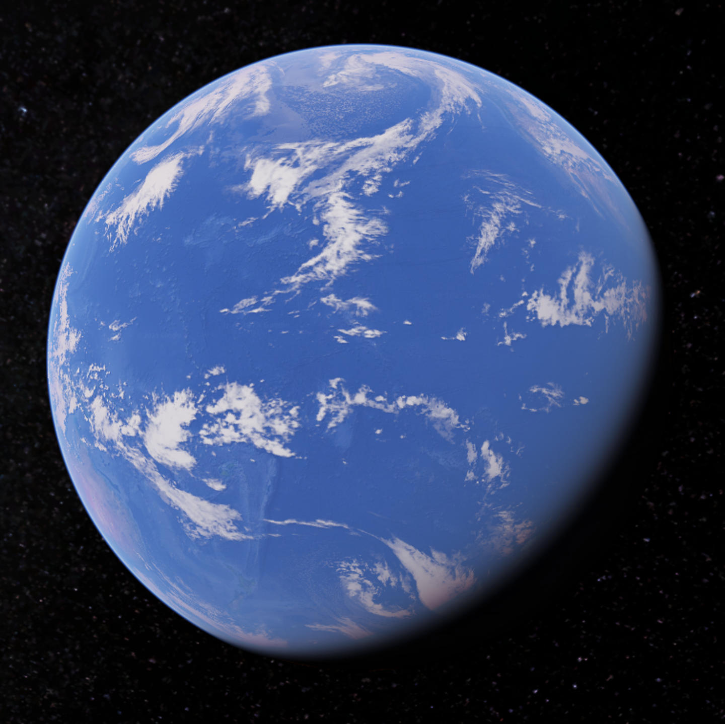
This particular view captures a section of the southern hemisphere that rarely gets attention, and it has definitely made people pause and feel a little unsettled.
advertisement
A Twitter user going by @AMAZlNGNATURE shared a screenshot of the image with the caption: "The side of planet Earth we aren't used to seeing."
The photo is almost completely taken up by the Pacific Ocean. There’s only the tiniest glimpse of land—New Zealand appears as a tiny speck on the lower left of the image.
As the largest and deepest body of water on Earth, the Pacific stretches across the entire view. Down near the bottom, you can spot a sliver of Antarctica, standing out with its bright white, icy surface.
Aside from Antarctica, the rest of the white in the image comes from clouds and weather systems, which are typical features you’d see in satellite images.
This particular side of the planet is often called the "oceanic hemisphere" because it holds the most water and the least land. It’s made up of about 89 percent water and only 11 percent land.
There’s more land than what’s visible in the image, though. Beyond New Zealand and Antarctica, several islands and territories are scattered across the vast blue space.
How does this make you feel? Uneasy? Me, too
Google Earth
advertisement
These include island nations like the Hawaiian Islands, Fiji, Tonga, and Samoa. It also includes Polynesian, Melanesian, and Micronesian territories—like French Polynesia, Easter Island, and even the distant edge of the Galápagos Islands, which barely appear in frame.
When this image made its rounds online, plenty of people said they found it downright creepy. And honestly, I don’t blame them one bit.
advertisement
"The back of Earth's head is crazy," one surprised user wrote. Another person chimed in with: "Feels wrong. I feel like I'm seeing something I shouldn't."
"Earth should actually be called water," a third person remarked. Someone else added: "Proof that most of our planet is still mystery and ocean."
On the flip side, New Zealanders were pretty pleased to finally be visible on a global map. One commented: "Speak for yourself. Hello from New Zealand!"
Another joked: "Ah finally, a map we're not left off of for once… a map all to ourselves," while someone else added: "To Pacific Islanders this is the front of earth, not the back."
advertisement
At the end of the day, it’s all about how you look at things.
Perspective really does change everything.