
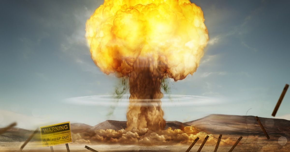
Experts have shared sobering warnings alongside new data showing projected radiation exposure levels in the event of a nuclear strike
advertisement
A newly shared map illustrating how a nuclear explosion might impact the country has revealed which US states could face the greatest danger if such an attack occurred.
The United States is one of nine nations currently confirmed to possess nuclear weapons, with others including Russia, China, France, the United Kingdom, Pakistan, India, Israel, and North Korea.
Back in 2017, the United Nations held a conference aiming to negotiate a complete ban on nuclear weapons, including measures that would prevent their deployment on any nation’s territory.
Now, as global tensions rise and fears of a potential World War Three grow, discussions and predictions about the potential impact of a nuclear detonation have become more common.
Drawing on data from Scientific American’s earlier nuclear attack maps, Newsweek has developed a detailed illustration showing projected radiation exposure levels.
The focus is on identifying both the areas most at risk and those likely to remain safest if missile silos in the nation’s midsection were targeted.
The map’s findings are based on average radiation exposure estimates for each point of latitude and longitude, using a scale that reflects the projected cumulative dose over a four-day period following a blast.
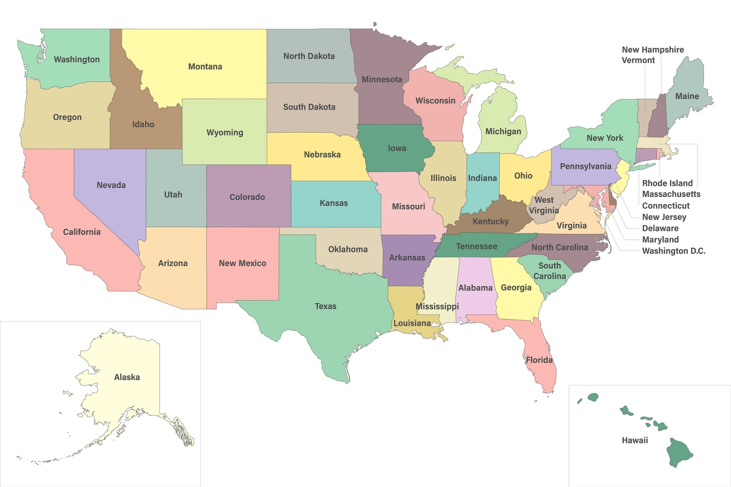
The heartland includes Colorado, Wyoming, Nebraska, Montana and North Dakota
Getty Stock Photos
advertisement
This scale measures radiation using grays (Gy), the standard unit for ionizing radiation dose.
According to the estimates, the states likely to face the highest risk in such an attack would be:
- Montana
- Wyoming
- Colorado
- Nebraska
- South Dakota
- North Dakota
- Iowa
- Minnesota
By contrast, states considered to have the lowest risk include Maine, New Hampshire, Vermont, Massachusetts, Rhode Island, Connecticut, New York, New Jersey, Pennsylvania, Delaware, Maryland, District of Columbia, Virginia, West Virginia, North Carolina, South Carolina, Georgia, Florida, Alabama, Mississippi, Tennessee, Kentucky, Ohio, Indiana, and Michigan.
These states fall into the safer category because their estimated radiation exposure ranges from 0.001 Gy to 0.5 Gy.
For context, people who work with radiation have an annual exposure limit of 0.05 Gy, and at around 0.5 Gy, early symptoms like nausea and vomiting can begin to appear.

Nine countries have nuclear weapons
Getty Stock Photo
advertisement
In the most at-risk states, exposure could range from 1 Gy all the way to 84 Gy. For perspective, radiation doses above 8 Gy are generally considered fatal by scientists.
The actual level of danger in any given location would also depend on factors like the direction of the wind and the number of nuclear warheads involved in the attack.
Still, experts stress that there’s no place in the country that would be entirely free from risk if a large-scale nuclear strike were to occur.
advertisement
John Erath, Senior Policy Director for the Center for Arms Control and Non-Proliferation, told Newsweek: "While those who live near military facilities, ICBM silos in the Midwest or submarine bases along the coasts might bear the most immediate and severe consequences of a nuclear attack, there's no question: ANY nuclear war or weapons detonation would be bad for everyone."
"Nowhere is truly 'safe' from fallout and other consequences like contamination of food and water supplies and prolonged radiation exposure."